TA YANG AIRPORT
| Name: Ta Yang Airport |
| Coordinates: 12* 58.6' N and 099* 50.9' E (new coordinates - Jan2006) |
| Frequency: 122.7 (as listed in DCA AIP - 29aug2005) |
| Runway Heading: 01/19 (unconfirmed) |
| Length: 450 meters (x 30m wide) |
| Surface: grass / max take off weight in accordance with Civil Aviation Board regulation no. 43. |
| Slope: none |
| Altitude: unknown |
| Obstructions: |
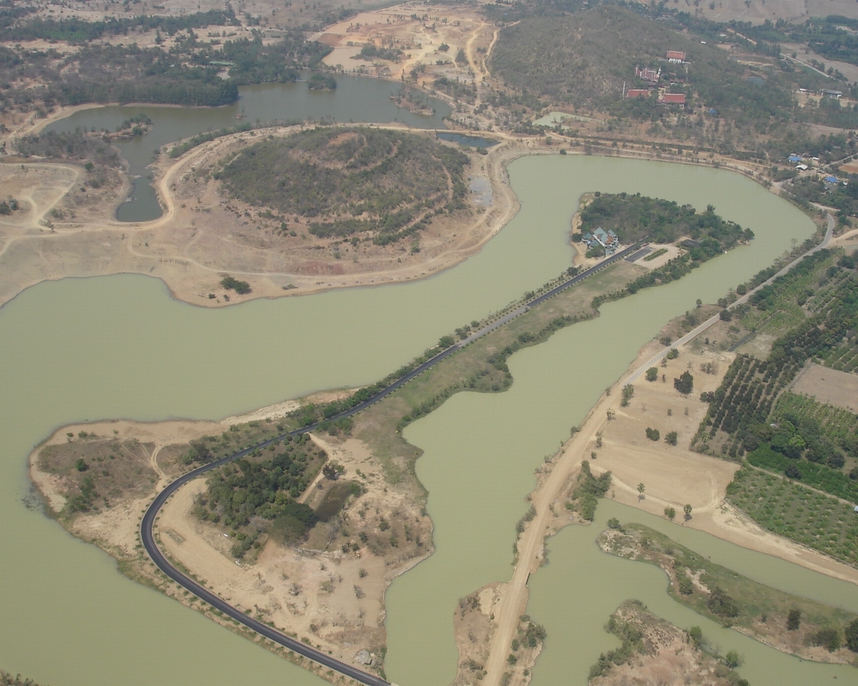
| Location: Located 10nm West of Bang Chong, on a strip of land in the middle of a lake just East of two small mountains. |
| Activities: Not yet open |
| Contact Information: Khun Prida Wanjai (c/o Lion's Club, Petburi). Call Khun Uthai - tel: 014453236 to contact Khun Prida or Email Neil for more information |
| Map of Airstrip: photograph below |