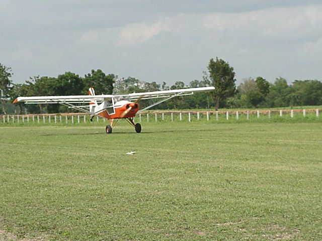
BAN MI AIRPORT
NOW UPGRADED -- See Ban Mi
| Name: Ban Mee Airport |
| Coordinates: 15*06'78N x 100*37'41E. |
| Frequency: unknown |
| Runway Heading: |
| Length: 680 meters (20 meters wide) |
| Surface: grass |
| Slope: none |
| Altitude: unknown |
| Obstructions: |
| Location: north of Lopburi |
| Activities: Tango Squadron and ultralight flying |
|
Contact Information: They are getting the permit from DOA as UL-Experimental Airfield. They have 2 Skyfox there at the moment. Also there's another airfield in Kam Paeng Peth named Sai Thong which will be operated by the same group and should be finished with in this year as well. Email for more information |
| Map of Airstrip: photograph below |