| Name: Nam Phong Dam Airport |
| Coordinates:
16*58' N x
103*58' E
(alternate site: 16*58' N x 104*08' E -
unconfirmed) |
| Frequency: |
| Runway Heading: |
| Length: |
| Surface: Grass |
| Slope: none |
| Elevation: ??' |
| Obstructions: n/a |
| Location: |
| Activities: Some
obstructions appear planted on the runway |
| Contact Information: |
| Other links: For additional information: DOA
Aeronautical Information Service, Tung Mahamek, Bangkok 10120, Thailand --
tel: 02 256 0922 // 02 286 0922 // fax: 02 287 4060 // AFTN: VTBAYOYX. |
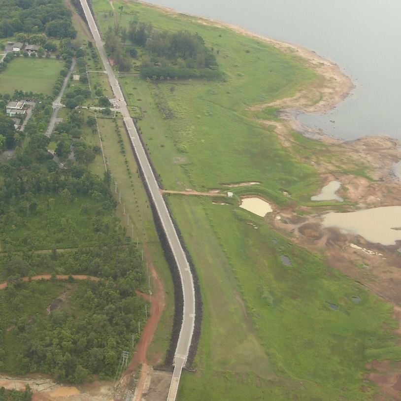
| Map of Airstrip: |
|