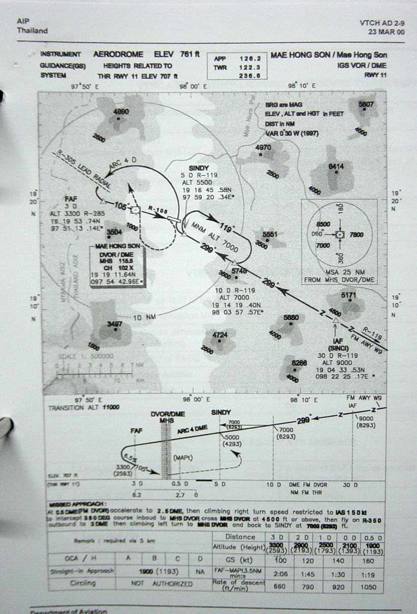
| Name: Mae Hong Son Airport - VTCH |
| Coordinates: 19*18' N x
97*58' E |
| Frequency: Approach 126.2 // Tower 122.3 |
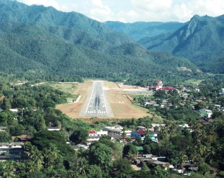
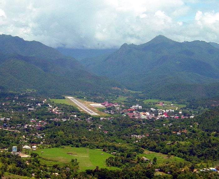
| Runway Heading: 11/29 |
| Length: 2,000 meters (30 meters wide) |
| Surface: asphalt |
| Slope: none |
| Elevation: 929' |
| Obstructions: Mountain on the end of Runway 11.
One-way airstrip. |
| Location: VOR MHS 115.5 // 2km from town |
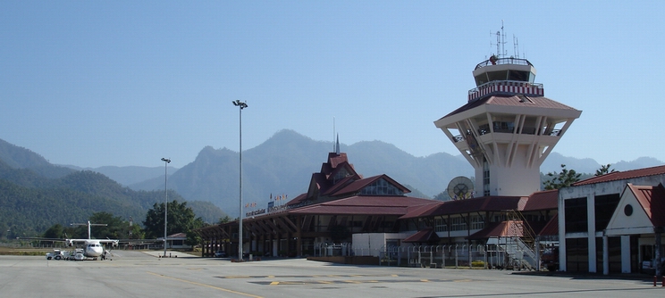
| Activities: Commercial airport. |
| Contact Information: 053 612903
(tower x4202) // 0898511806 (tower) // 053 612057. // Airport Address: Mae
Hong Son Airport, A. Muang, J. Mae Hong Son 58000 (DCA workers in 2007: Khun
Pui, Tin, Tam, Goi, Pat, Teung). |
| Other links: For additional information: DOA
Aeronautical Information Service, Tung Mahamek, Bangkok 10120, Thailand --
tel: 02 256 0922 // 02 286 0922 |
| Hotel: Piya Guesthouse (in town by the lake)
Tel: 053-611260 (basic travelers guesthouse in lovely setting) |
| Map of Airstrip:
http://www.aisthai.go.th/webais/pdf/AERONAUTICALCHARTS/VTCH.pdf
|