| Name: Loeng Nok Tha Airport |
| Coordinates: 16*09.5' N x104*35.5' E |
| Frequency: 122.3 |
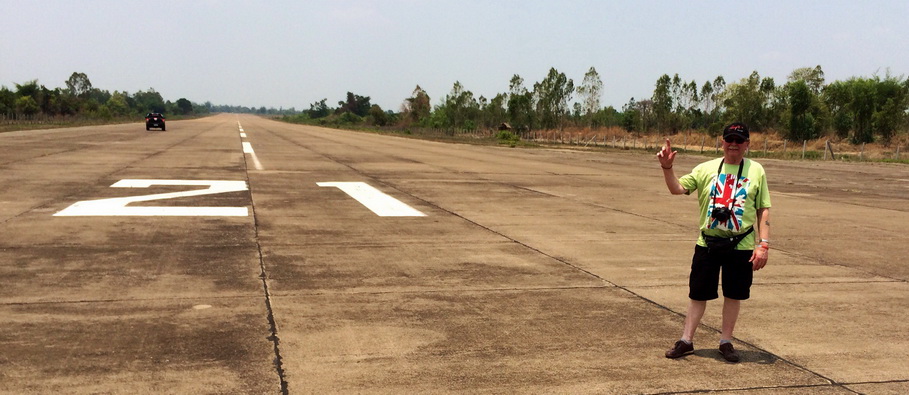
| Runway Heading: 03/21 |
| Length: 1600m |
| Surface: tarmac |
| Slope: none |
| Elevation: 461' |
| Obstructions: |
| Location: 35nm SSW of Mukdahan // 090*
from Roi Et 52nm // 345* from Ubon 56nm // |
| Activities:
FRIENDS FLYING CLUB & TRAINING (2016) -- UPL and PPL training -- C172,
Jabiru, Sonex, Quicksilver, Seminole, Piper Warrior 3. |
| Contact Information: Khun Gik --
0869230246 -- pragij@hotmail.com |
| Landing Fee: |
| Other links:
http://www.creopcrown.co.uk/
(link from Artem in 2014) |
| Map of Airstrip: photograph below from
Artem 2014 - artempor@mail.ru |