| Name: Klong See Airport -- NOW OPEN (December
2004) |
| Coordinates: 14*10.6' N x
100*41.5' E |
| Frequency: Bangkok Approach |
| Runway Heading: 18/36 |
| Length: 1,100 meters (28m
wide) |
| Surface: grass (max weight
not exceed 3,000kg) |
| Slope: none |
| Elevation: 6' |
| Obstructions: none |
| Location: 18 DME on 015* Radial from BKK VOR
(approximate) |
| Activities: Private Airfield / space for
parking 50 aircraft // |
| Contact Information:
wichai@thaiflyingclub.com /
Wichai Laksanakorn |
| Other links: For additional information: DOA
Aeronautical Information Service, Tung Mahamek, Bangkok 10120, Thailand --
tel: 02 256 0922 // 02 286 0922 // fax: 02 287 4060 // AFTN: VTBAYOYX. |
| GoogleMap:
http://maps.google.com/maps?f=q&hl=en&geocode=&q=14.17562,100.69154&ll=14.17562,100.69154&ie=UTF8&z=12&om=1 |
|
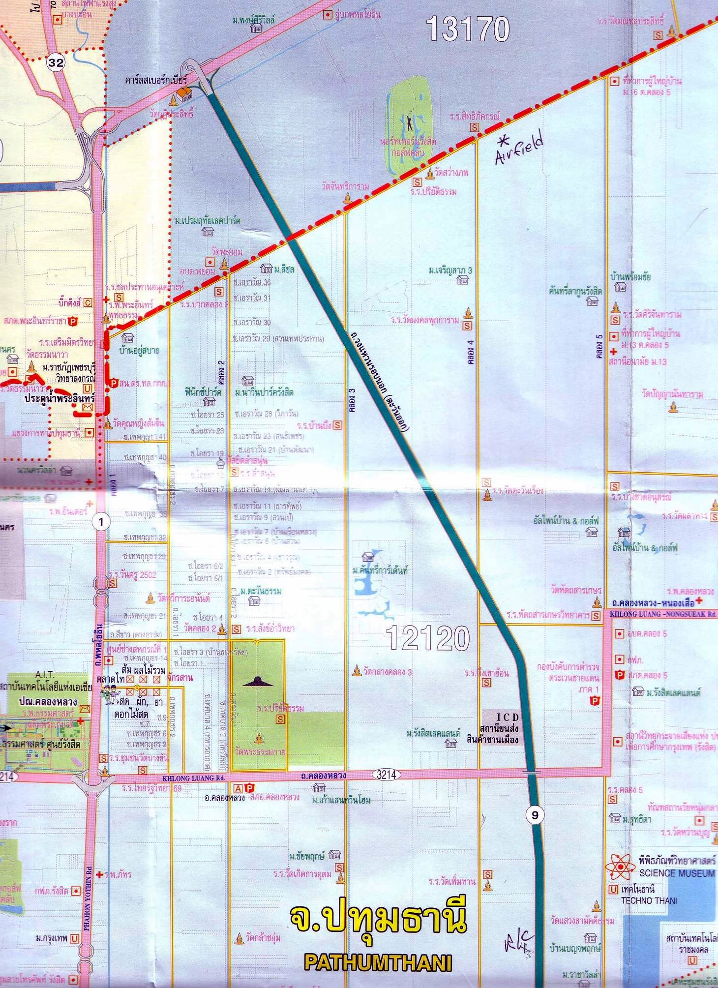
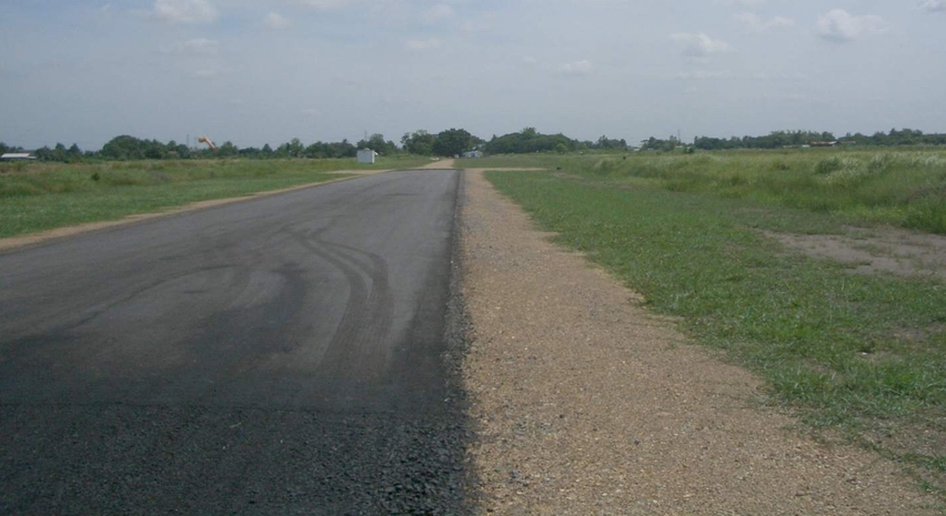
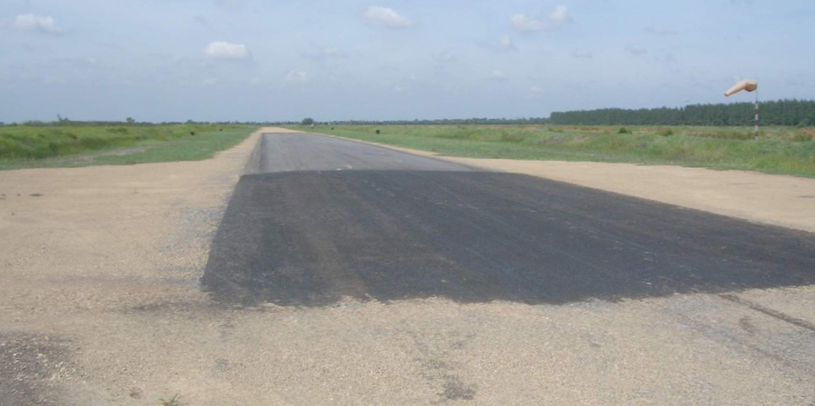
Map to
Airstrip: The "short" paved section is about 500 ft long. This paved piece
might be intended as the touchdown point for Rwy 18, as the dirt portion extends
quite a ways south of it. Note the windsock on the right of the paved section.
The picture North looks back to the parking area and the hangar.
This dirt section is intended as a taxiway rather than runway, but makes a
nice over run. |