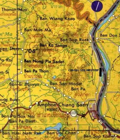
CHIANG SEN AIRPORT
|
STATUS UNKNOWN
|
| Name: Chiang Sen Airport -
does not exist yet -- just a proposal to encourage aviation development |
| Coordinates: 20*18.6' N x
100*05.5' E |
| Frequency: |
| Runway Heading: 36/18 |
| Length: 1000 meters |
| Surface: currently it is
just corn fields. Someone has to lease the fields and level the ground with
a grater. It would be a great grass field and not expensive to set up nor to
maintain. The main cost would be to negotiate with the 5 farmers who are
currently farming there. |
| Slope: none |
| Elevation: ??' |
| Obstructions: Wires next to
Thai Kitchen / other end is the Mekong River - no obstruction |
| Location: On the edge of
the Mekong River just West of Chiang Sen |
| Activities: Could be a
great airstrip for SGA to fly into Ananatara and Four Seasons Tented Camp |
| Contact Information:
jain@sga.aero |
| Other Information: This is
an old airstrip from the Vietnam War era on the banks of the Mekong River
just West of the town of Chiang Sen. |
|
Map of Airstrip: |
|
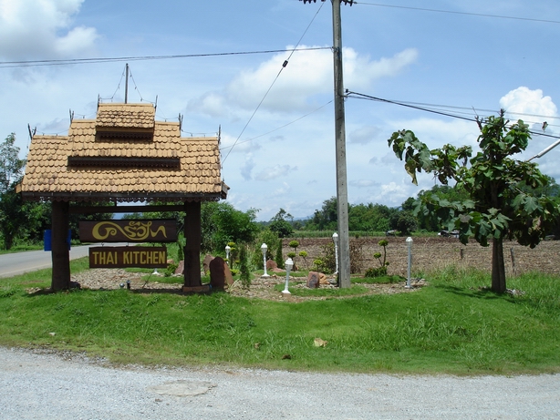
The Airstrip would begin at Thai Kitchen - 20*18.6' N x
100*05.5' E
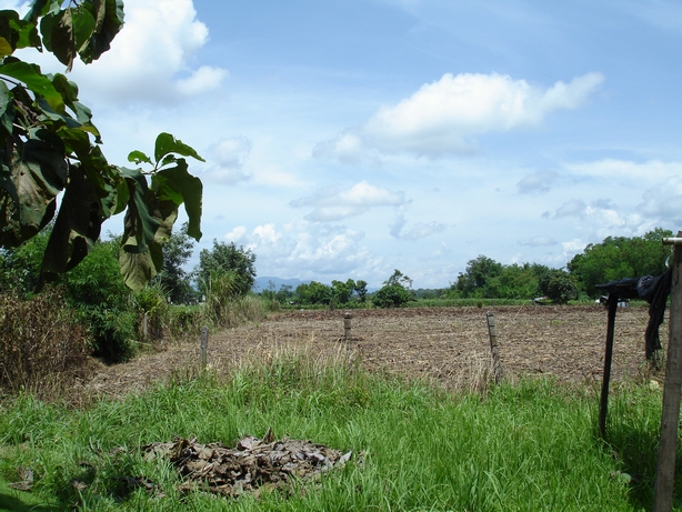
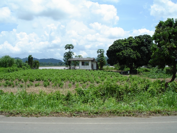
The Southern End - Looking down Runway 36
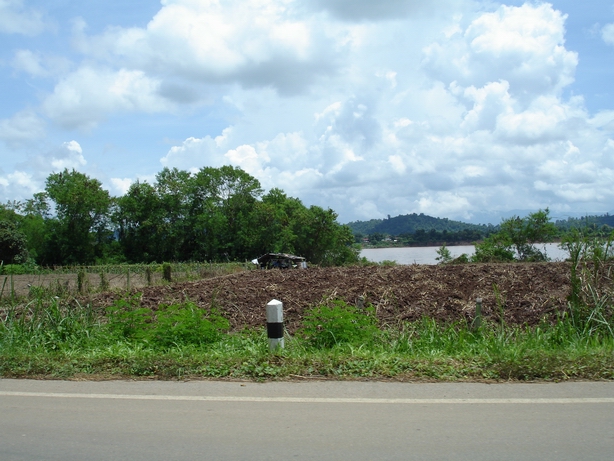
The Middle of the Airstrip showing the Mekong in the
background
The Northern End - 20*19.1' N x
100*05.5' E

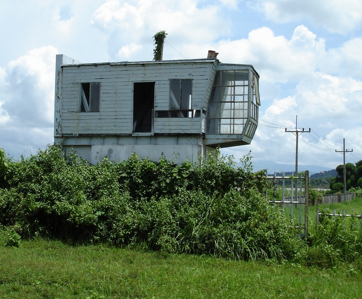
Radar and Control Tower from Vietnam War
when Air America operated near here.