| Name: Chiang Khong Airport |
| Coordinates: 20*11' N x
100*24' E |
| Frequency: |
| Runway Heading: 18/36
(approximately) |
| Length: 700 m (measured by
Tom) |
| Surface: Laterite and Grass |
| Slope: none |
| Elevation: ??' |
| Obstructions: 1 tree on the
South end of the runway / wires on the North end |
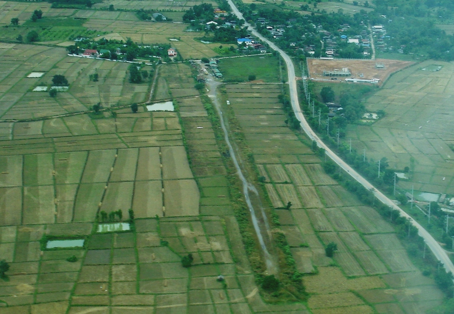
| Location: Far North Tip of
Thailand bordering the Mekong River / on the West side of the road |
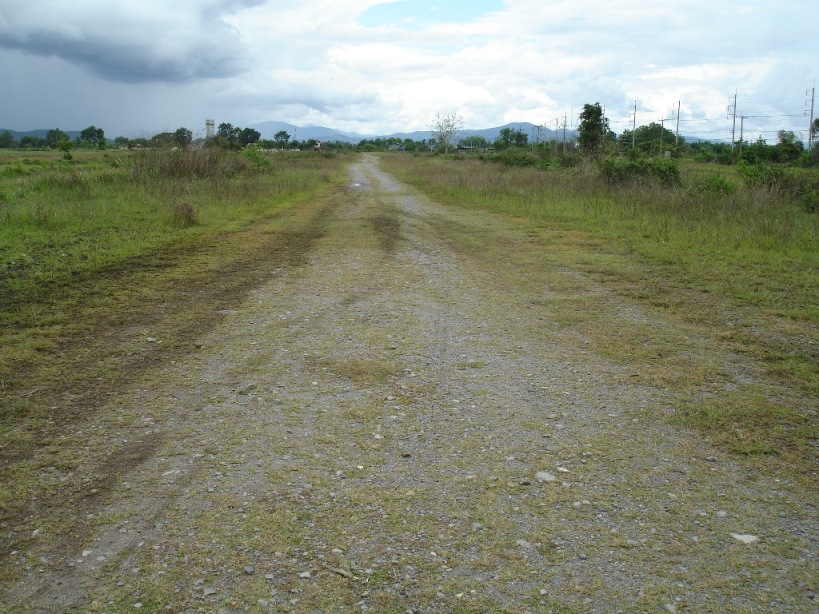
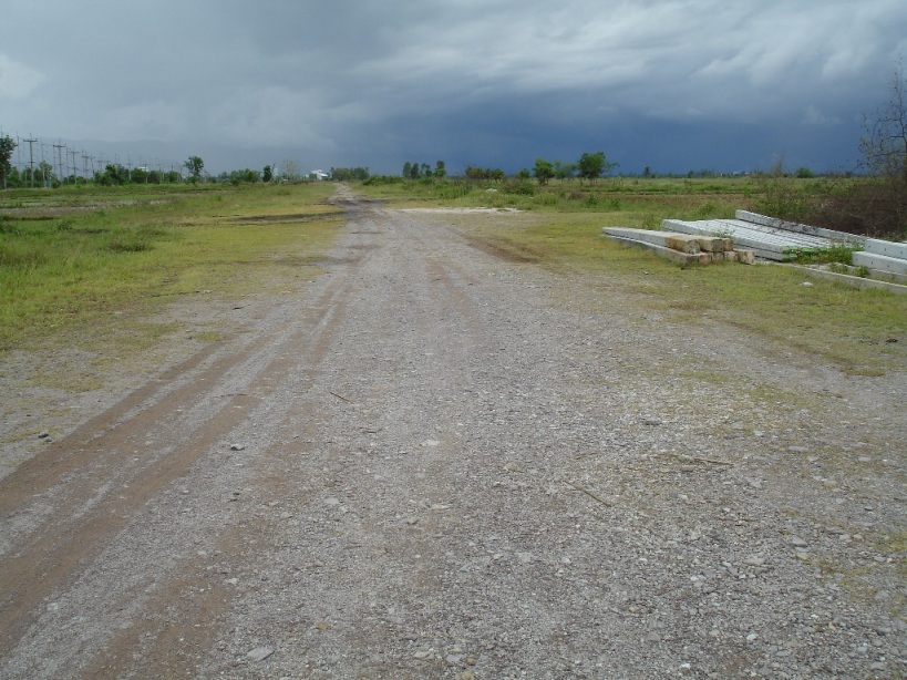
| Activities: Not used /
Inspected by Tom (May09): Overgrown with grass with Concrete poles lying on
the Western edge of the strip. Length measured at 700 meters / |
| Contact Information: |
| Other links: For additional information: DOA
Aeronautical Information Service, Tung Mahamek, Bangkok 10120, Thailand --
tel: 02 256 0922 // 02 286 0922 // fax: 02 287 4060 // AFTN: VTBAYOYX. |
| Map of Airstrip: |